Objectives
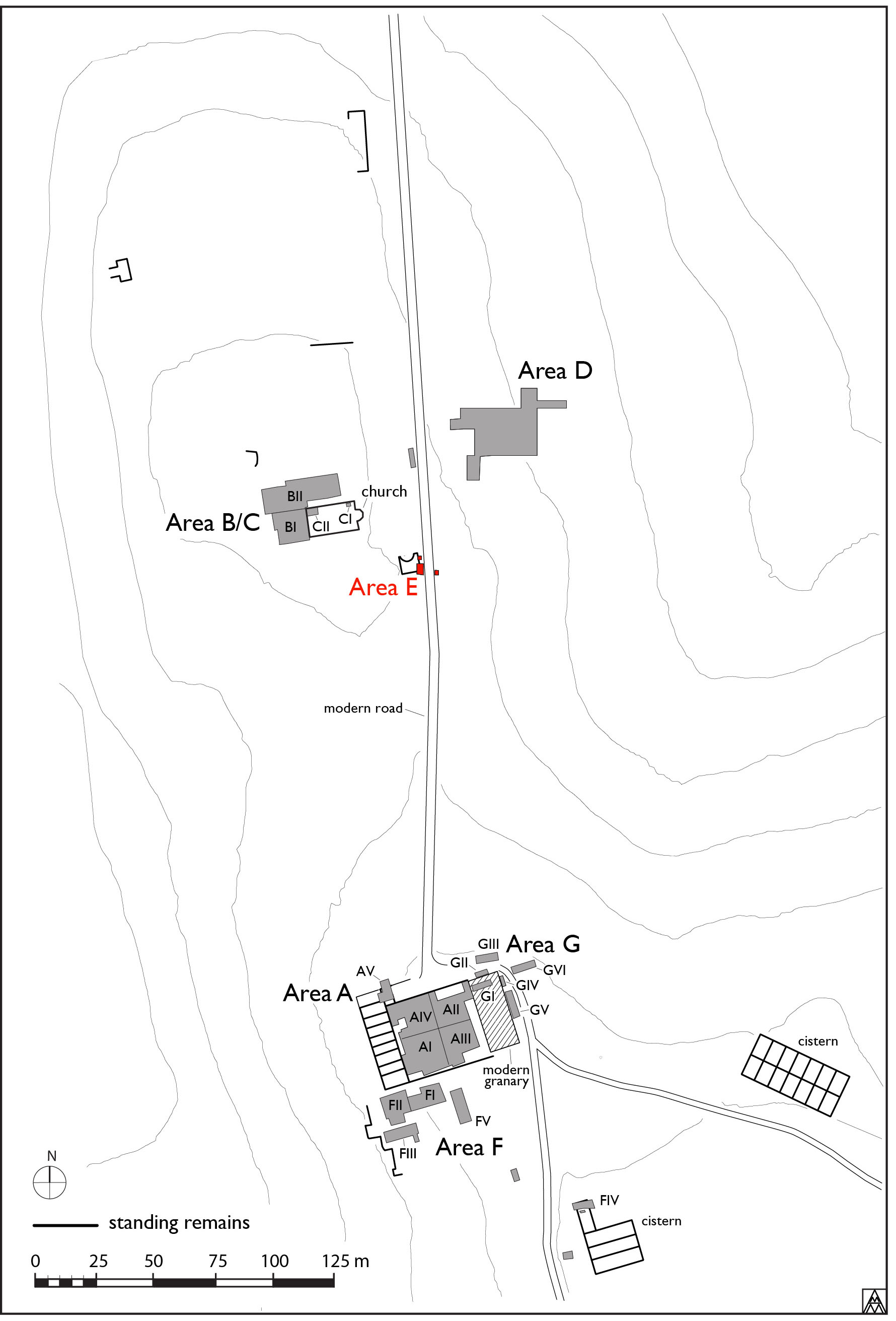
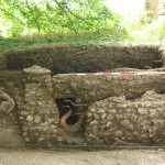
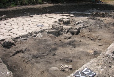
The trench, which lies along the drive leading to the casale, is just southeast of the structure known as the ‘Fontana Romana’ (Fig. 1; Fig. 2). Along the bank of the road several structures were visible in the road bank and the aim of the small sondage was to see whether they belonged to the same structure and to establish the height of its floor. The excavation was hindered somewhat by the presence of two great plane trees, whose roots had damaged the archaeological deposit, making serious progress well nigh impossible (Fig. 3).
Description
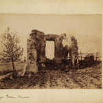
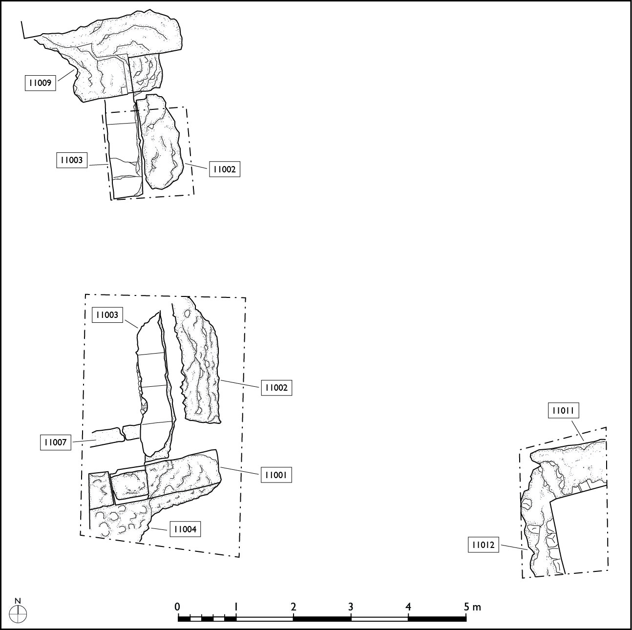
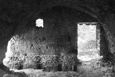
Although this is now obscured by the construction of an electricity switching tower, the north façade of the building, [11009], consists of an apse in the centre of a wall 11.60 m long. The apse itself is in opus mixtum, 4.6 m wide, faced with brick on the flanking walls. Just to the east of the apse a small foundation measuring 40 x 60 cm protrudes [10013]. This can be interpreted as the plinth for a column projecting from the façade. In the wall above are traces of four niches, although these are best seen today on the early photograph; in the center is a large rectangle, now lacking its backing screen. This was flanked inside the apse by two niches with slightly rounded tops (their exact shape is not clear from the photograph). The outer wall also had niches, whose form is unknown: the base of one of these is visible on the western side of the façade.
Behind this façade—and asymetrically placed to it—is a small building measuring 6.37 x 7.24 m (Fig. 4; Fig. 5). The rear wall [11001], is bonded to the east wall, preserved only in foundation [11002], which in turn bonds to the façade. The west wall, [11014], found when drawing the structure, bonds to the western side of the apse. The preparation for the pavement, 11004, consists of a thick rudus in concrete, with two layers of small limestone blocks at the point where the pavement abutted the wall [11002].1 The top of the preparation showed signs of a flooring aligned east-west, in marble or tiles, whose width varied between 45 and 60 cm.2
A drain, [11007], runs under the floor and running along wall [11001], whose northern wall was built in concrete. The drain was 60 cm deep and 45 cm wide and was probably originally lined with bipedales, of which only the upper one was found.
The width of the walls is invariably 60 cm. To the south there may have been other rooms, for here we found 11004, a rudus very similar to 11003, but there were no traces of paving slabs; it may have been an external surface. We are left, then, with an almost-square building behind what was almost certainly a nymphaeum. Its floor level, at -2.25 m, was over 80 cm higher than the modern road surface, and the majority of it has been cut away.
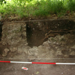
East of the cut made by the road we cleaned a north-south wall, [10010],visible along the bank (Fig. 6). This was 70 cm wide and bonds to another wall running perpendicular to it, [10011]. It is hard to know if these formed part of the same building as that behind the nymphaeum. Although the orientation is the same, the construction technique is not similar, as they are built with rubble masonry, faced with irregular small blocks. It is very probably that these walls are slightly later in date, although they may belong to an earlier building: we have suggested that this area was occupied by a substantial bath.
Only two deposits of material were recovered: (11006), the fill of a modern cut, 11005 had a small amount of residual material. A more significant deposit was found inside the drain, where (11008) yielded a certain quantity of sherds dating to the sixth or seventh centuries: this might have been the moment when the structure went out of use. Its final destruction took place at the moment of the construction of the estate drive in the nineteenth century.
Conclusions
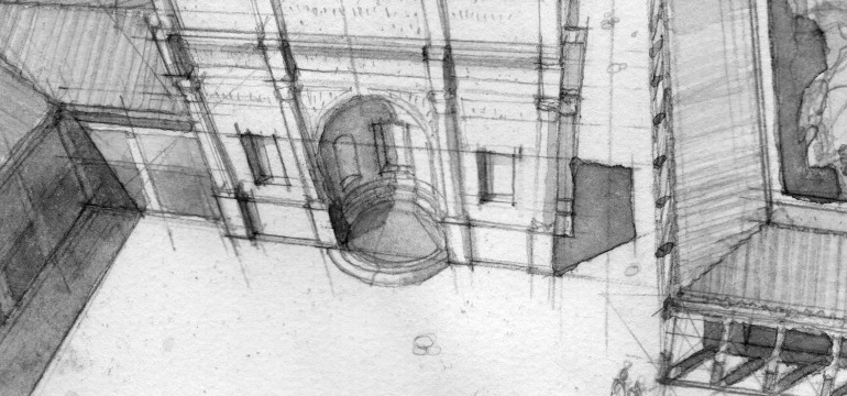
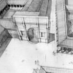
Our interpretation of the structure as a nymphaeum is based on its elaborate façade and, to a minor extent, on the presence of the drain – or fistula channel- beneath the building. Its position would also have been convenient to the baths which we suggest, were built just to the east of it. A tank place on top of the rear building would have supplied water under pressure both for the nymphaeum itself and for the baths: the suggested height of the top of the tank is some 50 cm. under that of the 7-chambered cistern to the south east: Fig. 7 shows a very hypothetical reconstruction of the structure. The asymmetrical position of the rear building which left the western flanking wall as a simple screen, almost certainly depends on the pre-existing road to its east which led from the central court to the winery at a distinct angle to the rest of the buildings.
1 The pavement and the wall were displaced by a thick root.
